Picture your own basecamp at the south end of the Bitterroot, where the East Fork of the Bitterroot River winds through open meadows and timbered hills. If you are eyeing acreage near Sula, you already know the draw: room to roam, big‑sky views, and quick access to public land. Buying rural land is different than buying a house in town, though, and small details like road maintenance, wells, and water rights can shape both value and day‑to‑day life. This guide gives you a clear path through property types, access, utilities, recreation, and the key checks that make a confident purchase. Let’s dive in.
Why Sula draws land buyers
Sula sits along US‑93 at the west end of Ross’ Hole on the East Fork of the Bitterroot, about 35 miles north of Hamilton and roughly 58 miles south over Lost Trail Pass to Salmon, Idaho. That location offers a quieter feel than the central valley while keeping you on a primary corridor for year‑round access. Sula quick facts and location help set the scene.
Large blocks of public land surround the basin. The Bitterroot National Forest and Sula State Forest frame much of the area, which shapes recreation, wildlife presence, and wildfire risk. For current trail conditions and seasonal notices, check the Bitterroot National Forest recreation updates.
Common property types
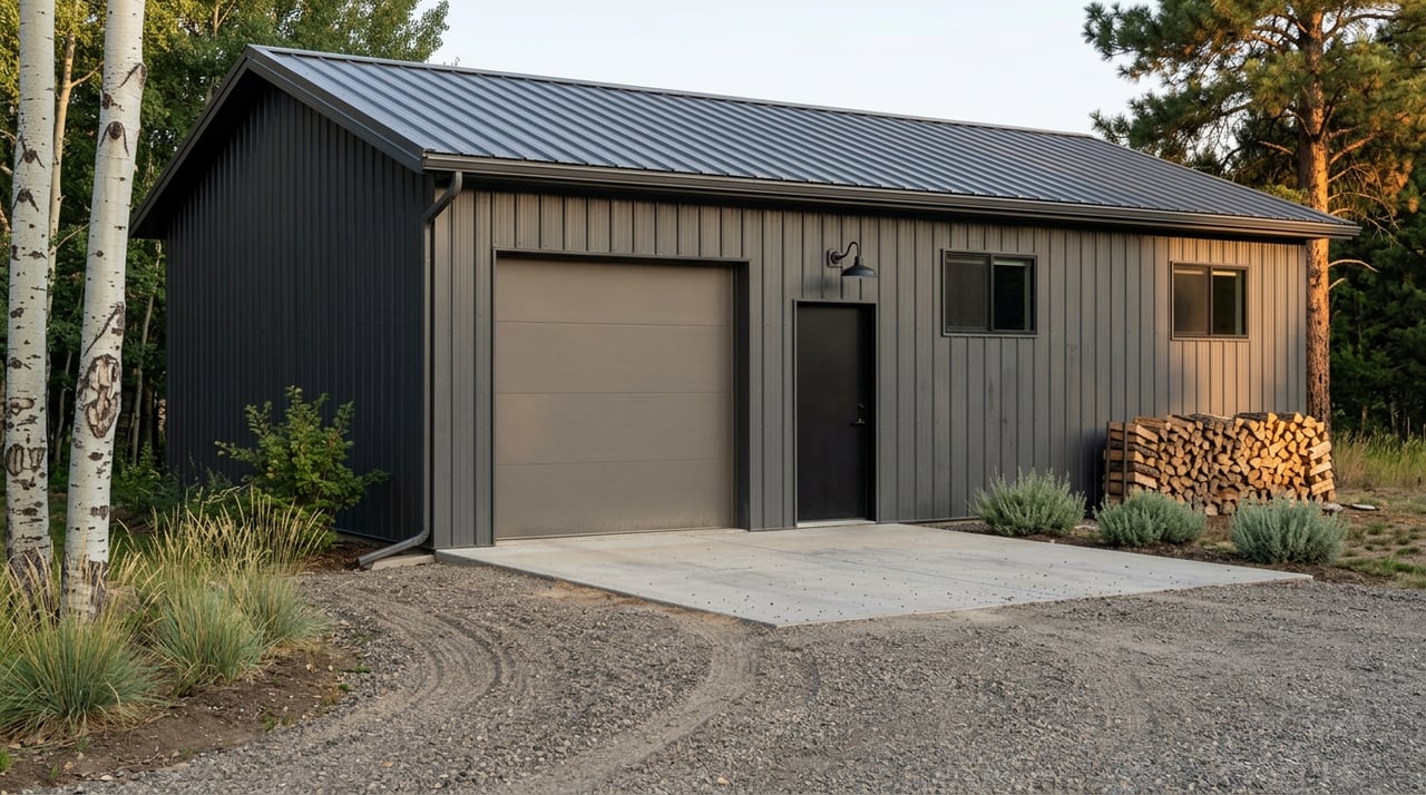
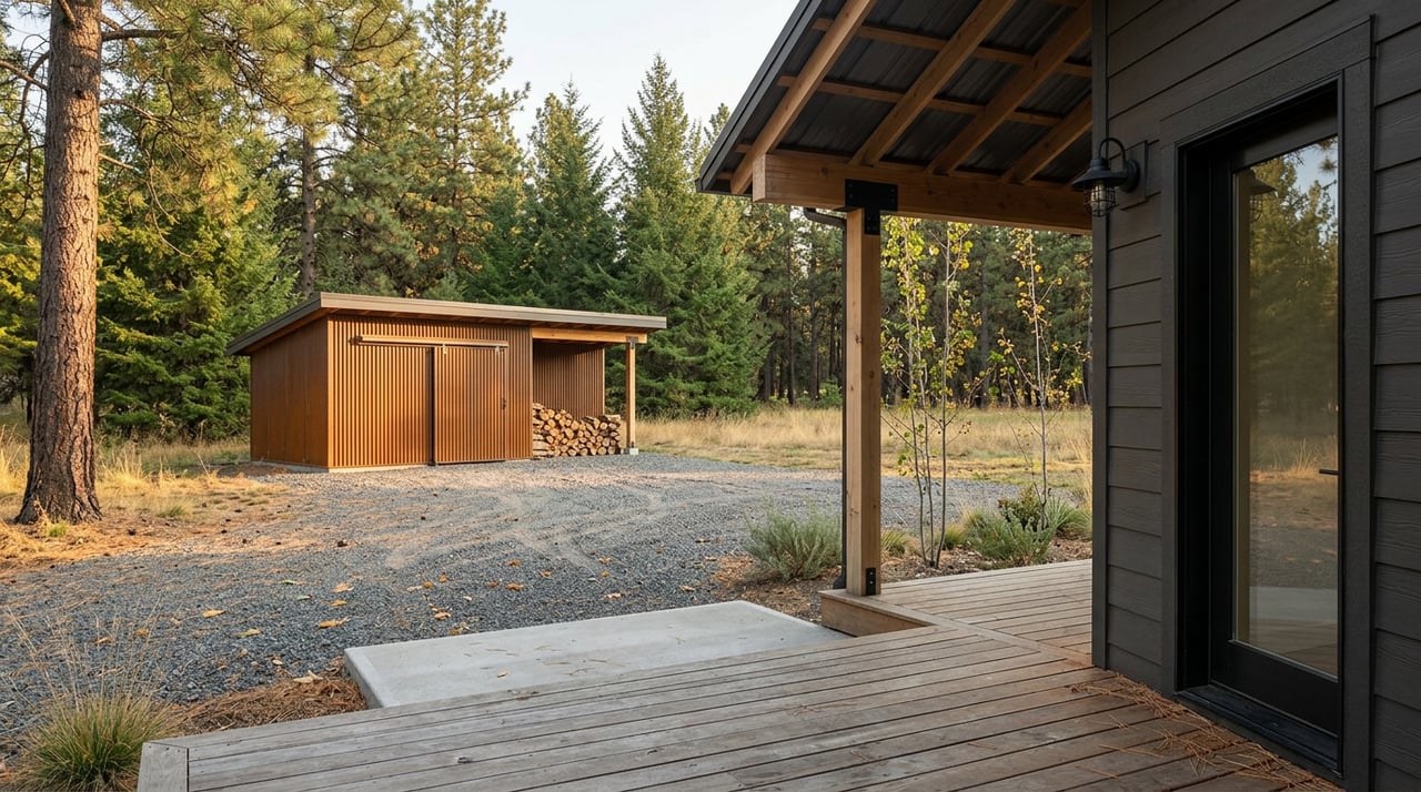
Cabin lots and small parcels
You will see small recreational or cabin lots, often a quarter acre to a few acres, near US‑93 or East Fork Road. Many are used as seasonal bases. Wells and septic systems may be present, but always confirm capacity, permits, and condition.
Ranchettes and lifestyle acreage
Parcels from 5 to 40 acres commonly include modest homes, barns, corrals, and sometimes irrigation ditches or water shares. Home styles range from log and cabin‑style builds to updated ranch houses and modular homes on foundations. Horse‑friendly improvements are common, so walk the site to verify fencing, corrals, and water access.
Working ranches and trophy tracts
Larger holdings may span 40 acres to several hundred acres. These can include multiple outbuildings, hay storage, private springs or streams, and sometimes direct boundaries with state or national forest land. Value on these properties often hinges on water rights, grazing capacity, and access to adjoining public land.
Access and year‑round living
US‑93 is the main corridor, but many parcels rely on county roads or private drives that branch off East Fork Road and smaller lanes. Confirm who plows and maintains the road, and whether there is a road maintenance agreement. Written maintenance terms matter for financing and for neighbor relations.
Forest Service roads offer big adventure, but many are rough and snow‑dependent in winter. Expect some roads to close or become impassable in colder months. For seasonal changes and closures, use the Forest’s current recreation pages before you plan access.
Emergency response times can be longer than in town. Review fire district coverage and mapping, and plan your own on‑site safety and winter access strategy using the county’s Groovy Online Mapping tools.
Water, wells, and rights
Most rural parcels rely on private wells, springs, or small public systems. You will want a well log, a professional pump and flow test, and water quality sampling as part of due diligence. If a property advertises irrigation or ditch water, verify the recorded water right, including file number, priority date, and duty.
Montana DNRC maintains the Water Rights Query System and guidance on rights, changes, and transfers. Start with the DNRC materials provided to the state’s Water Policy Committee to understand how rights are recorded and managed. Review the DNRC water rights overview and pull records early in your search.
Helpful steps:
- Ask for well logs and recent testing, then schedule your own pump test and lab sampling.
- Search DNRC records for all claimed water rights on the parcel, including irrigation and domestic.
- If ditch company shares are involved, confirm what conveys in writing.
Septic and wastewater
On‑site wastewater systems in Montana must follow Montana DEQ Circular DEQ‑4 and county review in subdivision situations. Many rural parcels have existing systems, but you still need a site evaluation and proof of a suitable replacement area. Steep slopes, shallow soils, or a high water table can require pressure‑dosed or advanced systems.
Before you waive contingencies, line up a licensed septic inspector or designer and a soils consultant. You can read the state’s design rules in Montana DEQ Circular DEQ‑4 so you understand the basics.
Power, heat, and internet
Electric service in the Bitterroot is often provided by a local electric cooperative. Rural lines are commonly overhead. Some sellers have buried service, but that is not universal, so confirm service type and any extension costs with the utility.
Propane is widely used for heating and cooking, sometimes alongside wood or hybrid systems. Confirm the tank ownership or lease and which appliances run on propane.
Broadband and cell coverage are mixed in the Sula basin. Many buyers rely on fixed wireless, satellite services like Starlink or Viasat, or slower DSL where available. For a quick local snapshot, review Sula service notes and providers, then verify actual serviceability at the address with the provider.
Recreation and access
If fishing is on your list, the East Fork and Bitterroot River have multiple Montana FWP Fishing Access Sites. Confirm your legal access points through FWP and public lands. For context on the corridor, see the Poker Joe Fishing Access Site.
Hunting units in the greater Sula area include districts with substantial public ground and notable elk and mule deer opportunity. Always confirm season dates, license requirements, and access programs through Montana Fish, Wildlife & Parks before you plan a purchase around hunting access.
Equestrians will find horse‑friendly trailheads and pack‑stock routes in the Bitterroot National Forest. Seasonal restrictions and road conditions vary, so check Forest Service updates before hauling or riding.
Wildfire and stewardship
Many Sula‑area properties border timber, and wildfire risk is a real planning factor. Ravalli County’s Community Wildfire Protection Plan identifies priorities and WUI areas that can affect insurance and mitigation needs. Review the county CWPP and schedule a defensible‑space assessment early.
Practical steps:
- Walk the property with a forester or wildfire consultant to map fuel breaks and ladder fuels.
- Budget for thinning, limbing, and hardening structures.
- Ask your insurer about mitigation credits and coverage parameters in your first call.
Easements, zoning, and title
Zoning in Ravalli County can include countywide rules and Citizen‑Initiated Zoning Districts, plus subdivision covenants that set minimum lot sizes and permitted uses. Contact the Planning Department and use the county subdivision and zoning guide to confirm what applies to a parcel.
Title work should surface recorded access easements, ditch company rights, utility easements, encroachments, and any conservation easements that run with the land. Some valley properties carry conservation restrictions that preserve open space or limit certain future uses. A boundary survey is essential if value depends on fencing, roads, or structures near lines.
Smart search steps
Use this sequence to move from interest to a short list you can stand behind:
- Set firm filters for minimum acreage, drive time to Hamilton or Missoula, public‑land adjacency, and required utilities. Screen parcels on the county’s Groovy Online Mapping.
- Call Ravalli County Planning to confirm zoning, subdivision status, and any covenants. Read the county’s citizens’ guide to understand the basics.
- Order a well pump test and water sampling, plus a septic inspection and site evaluation. Review DEQ‑4 rules to set expectations.
- Search DNRC records for all claimed water rights and any ditch company filings using the DNRC overview materials. Run soils on the NRCS Web Soil Survey for Ravalli County.
- Confirm access, easements, and road maintenance obligations in writing. Use a licensed land surveyor if boundaries, fencing, or driveways are material to value.
- Review wildfire risk and insurance availability alongside the Ravalli County CWPP. Price mitigation work into your offer.
- Check Forest Service road and trail conditions on the Bitterroot NF updates if public‑land access is a key reason to buy.
What to budget for
Every parcel is different, but many Sula buyers set aside funds for:
- Water testing, well pump test, and possible pump or pressure tank upgrades.
- Septic inspection, soils work, and potential system updates.
- Driveway or road work, snow removal planning, and culvert improvements.
- Fuel reduction, tree work, and structure hardening for wildfire resilience.
- Fencing, gates, and livestock water setups if you plan horse or grazing use.
- Internet and communications hardware if wired broadband is limited.
Work with a local land specialist
Succeeding in rural purchases comes down to clarity and sequence. When you confirm access, water, wastewater, and wildfire realities first, everything else gets easier, from financing to insurance to long‑term stewardship. A local, land‑savvy broker can coordinate specialists, read county maps with you, and make sure the contract timelines protect your interests.
If you are ready to explore acreage or recreational property near Sula, reach out to Clinton Roberts for a focused search and a practical plan to close with confidence.
FAQs
What property types are common near Sula, Montana?
- You will see small cabin lots, 5–40 acre ranchettes with barns or corrals, and larger working ranches, often near public timberlands that shape access and wildfire considerations.
How do I check water rights on a Sula property?
- Search DNRC records and filings, confirm any ditch shares that convey, and pair that research with a professional well pump test and water quality sampling.
What should I know about septic systems in Ravalli County?
- On‑site systems must meet Montana DEQ Circular DEQ‑4 and county review; expect site evaluations, proof of a replacement area, and possible advanced designs on steep or shallow soils.
Is internet reliable on rural acreage near Sula?
- Coverage is mixed; many owners use fixed wireless or satellite, with DSL in some spots, so verify address‑level serviceability with providers before you buy.
How does wildfire risk affect buying near Sula?
- Parcels near timber often fall in WUI focus areas; review the county CWPP, budget for defensible‑space work, and talk to your insurer about coverage and mitigation credits early.
What access and road issues should I confirm?
- Verify county versus private road maintenance, written road agreements, winter plowing, and any recorded access easements, then consider a boundary survey if value depends on fences or drives.